Empowering Nonprofits and Researchers with Geospatial Intelligence
Nonprofits and research organizations rely on accurate data and advanced analysis to achieve their missions and drive impactful results. At Digital E Consulting, we provide high-resolution aerial data and comprehensive geospatial services using advanced Unmanned Aircraft Systems (UAS) and cutting-edge data analytics. Our services support various research initiatives and nonprofit projects, enhancing their ability to gather, analyze, and act on critical information.
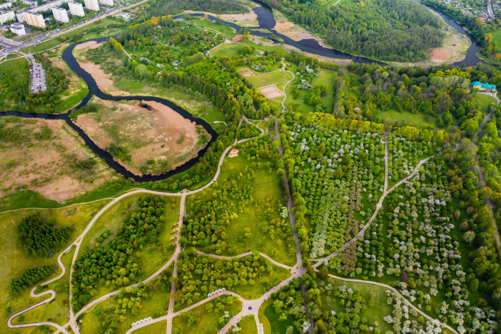
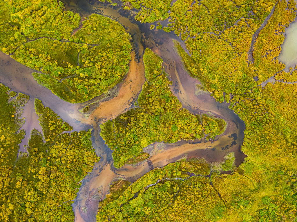
Environmental research and conservation efforts require detailed and precise data to monitor ecosystems, track changes, and develop preservation strategies. Our aerial surveying and mapping services provide high-resolution data for environmental studies, habitat assessments, and conservation planning.
Our environmental research and conservation services include:
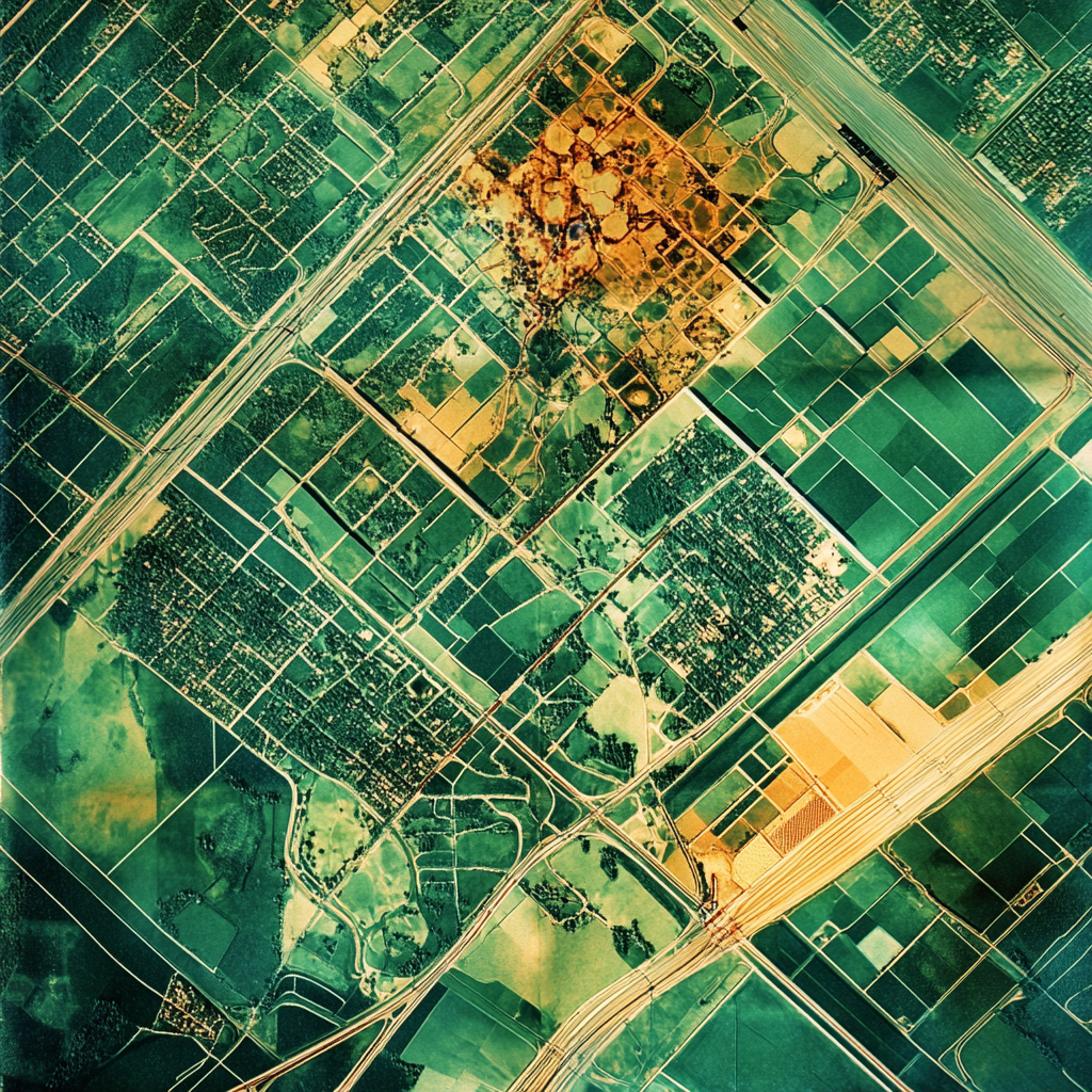
Nonprofits and research institutions focused on urban and community planning leverage our geospatial services to gather detailed information about urban environments, infrastructure, and population dynamics. This data supports the development of sustainable and resilient communities by providing insights into land use, transportation, and public services.
Our urban and community planning services include:
Scientific research projects often require precise data collection and advanced analysis to test hypotheses, validate models, and innovate solutions. Our geospatial expertise supports a wide range of scientific research activities, from environmental science to urban studies, providing researchers with the tools they need to succeed.
Our scientific research and innovation services include:
Harness the power of GIS to drive impactful nonprofit and research projects. Our geospatial expertise empowers organizations to analyze, visualize, and act on critical data with precision and efficiency.
Our GIS-focused services include:

Aerial data collection from multiple sensors
Leveraging advanced geospatial tools to get insights from your data
Creating practical workflows that follow industry standards
Your Partner in Geospatial Solutions
Stay informed with the latest insights—subscribe to our newsletter today!