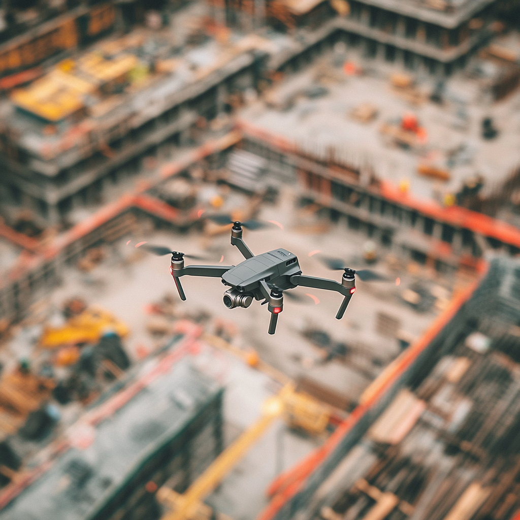
The construction industry is rapidly evolving, and precise geospatial data is essential for efficient project planning, monitoring, and management. Digital E Consulting specializes in delivering high-resolution aerial data and comprehensive geospatial services using advanced Unmanned Aircraft Systems (UAS) and cutting-edge data analytics. Our detailed geospatial solutions help construction clients by providing on-demand or recurrent progress monitoring and offering an overall site view for estimators, quality control managers, logistic planners, inventory purposes, and contractor use. These insights enable better decision-making, accountability, efficient resource allocation, and streamlined project timelines, ensuring successful project outcomes.
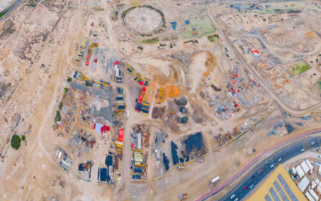
Accurate construction progress monitoring ensures projects stay on schedule and within budget. Our aerial imagery and spatial data collection services provide construction project managers with up-to-date, high-resolution views of their sites. This recurrent scan helps track progress, assess site conditions, and make informed decisions.
Our construction progress aerial monitoring services include:
Safety and risk management are essential in construction projects. Our advanced aerial imagery helps identify potential hazards and assess the structural integrity of construction sites. This proactive approach reduces risks, enhances safety, and improves project outcomes.
Our safety and risk management services include:

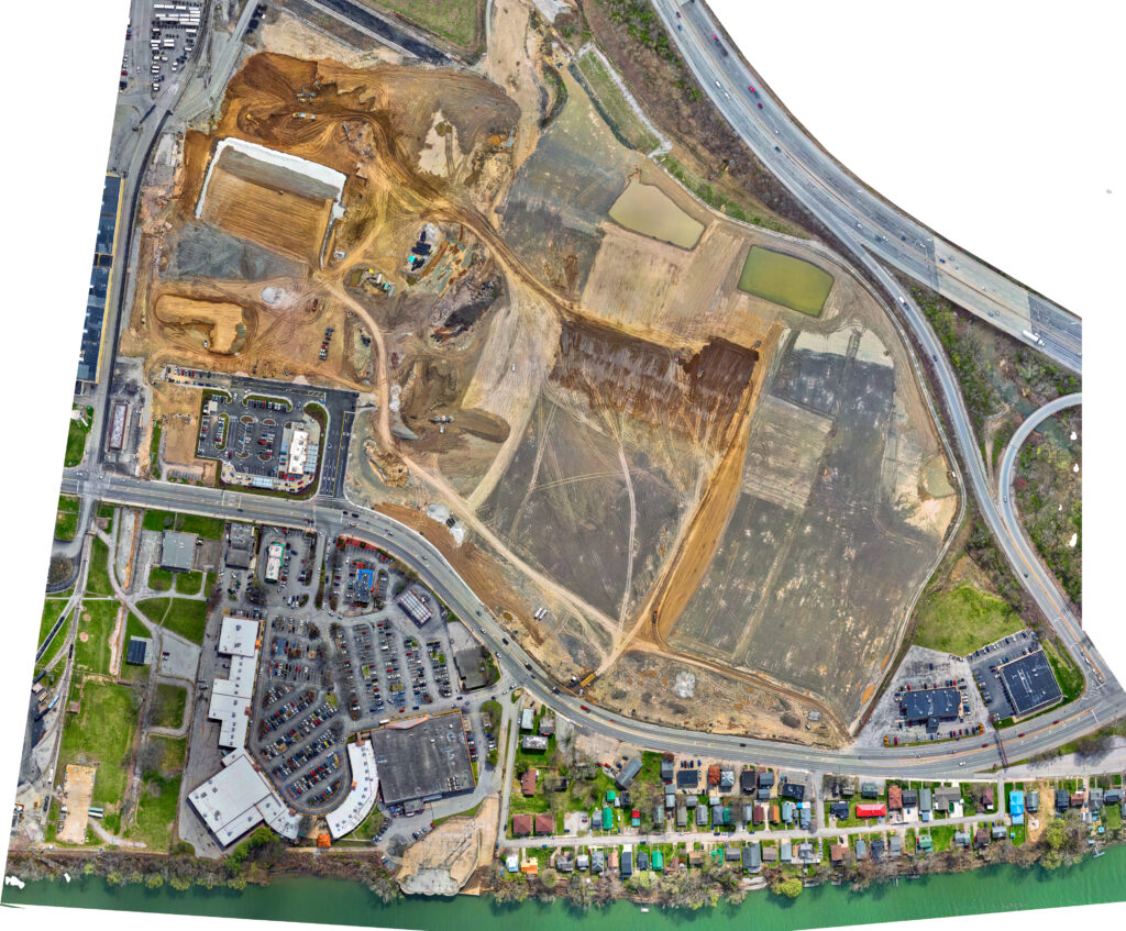
Accurate geospatial data is vital for effective construction and infrastructure planning. Our services make sure that projects are planned with the highest level of precision, reducing risks and optimizing resources. From initial site surveys to ongoing project monitoring, we provide the data necessary to support every stage of construction and infrastructure projects.
Our construction and infrastructure planning services include:
Accurate and detailed aerial imagery is invaluable for recording site conditions before and after incidents, ensuring thorough documentation and providing clear visual data to assist with assessments. Our services offer high-resolution images that can help verify conditions, evaluate potential damages, and aid in decision-making processes related to site recovery or repairs.
Services include:
Capture the conditon of the site before construction from the air.
Have your site flown recurrently (weekly, biweekly or monthly)
Showcase breathtaking aerial photos and videos after the job is complete.
Your Partner in Geospatial Solutions
Stay informed with the latest insights—subscribe to our newsletter today!