Unlocking Precision with Advanced Geospatial Solutions
Land Survey is a crucial industry that provides the foundational data necessary for accurate mapping, planning, and construction. At Digital E Consulting, we specialize in delivering high-resolution aerial data and comprehensive geospatial services using advanced Unmanned Aircraft Systems (UAS) and cutting-edge data analytics. Our services reduce the time it takes to survey a site by using automated aerial equipment, showing a birds-eye view perspective, and collects data in hard to reach areas, making us a trusted partner for Land Survey projects across various sectors.

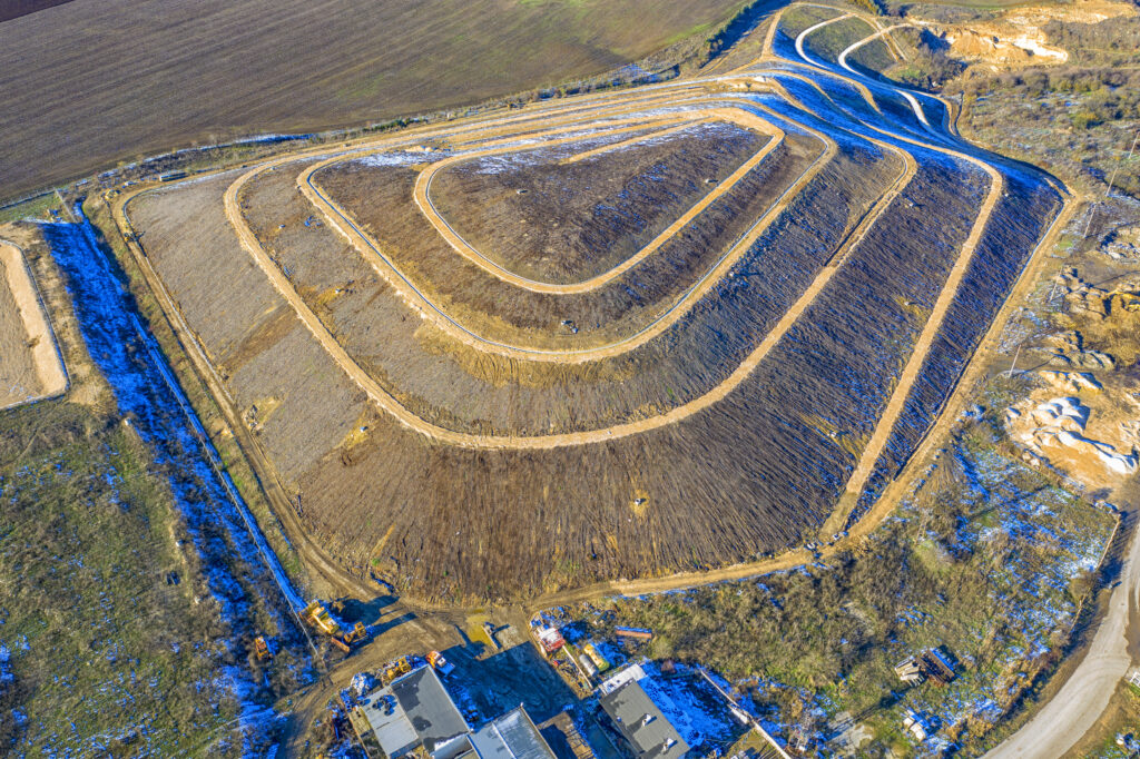
In the realm of Land Surveying, precision and accuracy are paramount. Our aerial surveying and mapping services utilize state-of-the-art drone technology and LiDAR to capture detailed spatial data. This data is essential for creating accurate maps and models that support various applications, from urban planning and volumetric analysis to infrastructure development. By partnering with Licensed Land Surveyors from multiple states in the US and abroad, the company has helped digitize thousands of acres in different topographies from deserts to mountains.
Our services in this business area include:
Processing and analyzing geospatial data are critical for making informed decisions. Our team of experts employs advanced software and methodologies to transform raw data into actionable insights. This process involves enhancing the data quality, performing detailed analyses, and creating comprehensive reports that guide project planning and execution.
Our geospatial data processing services include:
For mapping and topographic surface modeling
Photogrammetry and LiDAR Projects
Asset inventory and geodatabase management